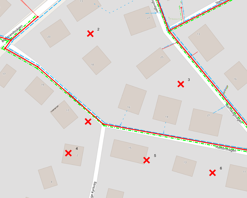
Opens a window where a list of coordinates can be displayed. The coordinates are retrieved from the graphical view by clicking in the map. Red crosses will be placed temporarily and numbered in the map. The coordinates are printed in the coordinate system set for the current graphical view. Coordinate system is printed once per change of coordinate system. If a ground elevation model is not configured, N, E and Z will be copied from the map to the coordinate list. The Z value is taken from the nearest height in the grid.
1.Select Tools > List coordinates.
2.Show coordinates N (North) and E (East) in the coordinate list by clicking in the graphical view.
Settings
Show coordinates in map |
The checkbox Show coordinates in map is checked by default which means that the red crosses are visible in the map. When you uncheck the checkbox, the red crosses will disappear in the map but the coordinates in the dialog will remain and the function is active until it is closed. |
List |
Makes it possible to reactivate the "List Coordinates" function if another function has been activated while the List Coordinates window remains. |
More information
|
•It is possible to snap (Alt key + left click) on existing components. •The Comment field is active, which means that the user can enter a comment of their choice by double-clicking. •The list can be exported to Excel file or text file, for sharing or further processing. |
See also:
Setting how to display Longitude / Latitude coordinates (e.g. Minutes, degrees/decimals, and seconds) under Settings > Preferences.